The TIC Team Completes Mapping and Surveying of Hujong Island!
As many of you already know, our work was stopped during the COVID-19 MCO (Movement Control Order), so all our projects have been delayed. It was hard at the beginning, but we didn’t get discouraged and as soon as the MCO was lifted, we went back to our work. During the month of August, we focused on one of the islands of the Johor Marine Park: Hujong.
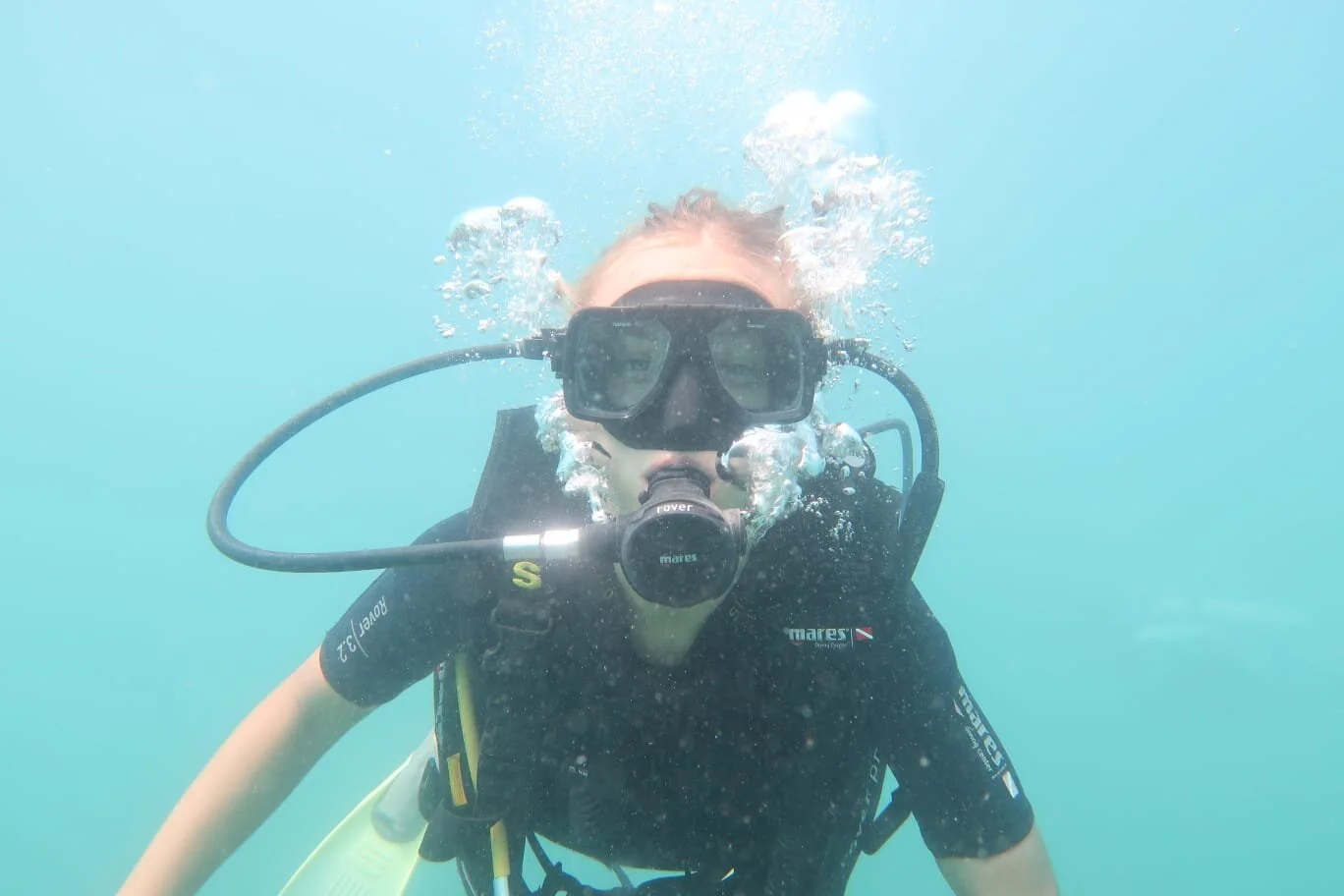
We started by doing few dives in order to check the condition of the reef and the various depths. Once we had an idea, we moved on to mapping the reef. Mapping consists in having a GPS secured to a life jacket which, in turn, is attached to a rope. At least two SCUBA divers swim at the edge of the reef while pulling that rope and record the shape of the reef. So, as you can imagine, it can be quite tricky if there is current or if the sea is rough. Many times, we had to postpone the dive or waste precious time to find another spot where to jump to go along with the current.
Do not worry! Once the mapping is done, all the rest is usually easy!
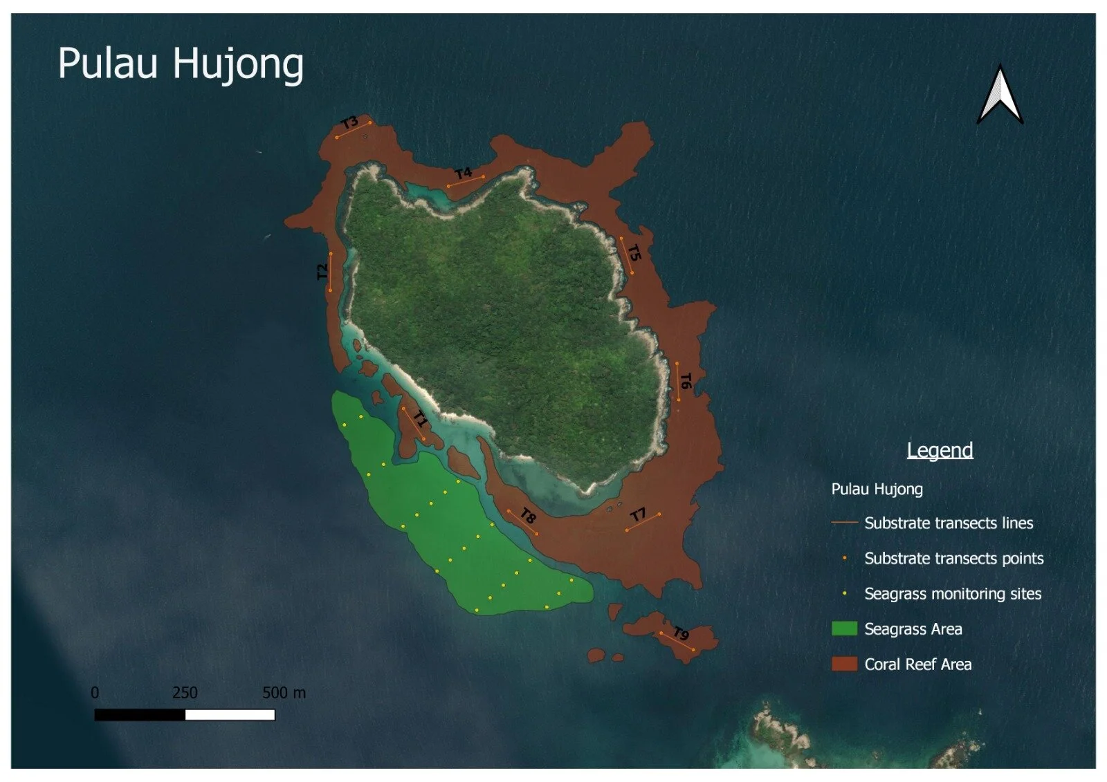
The next step is to draw the map and set the transects. Pulau Hujong is a “big” island, where the reef covers an area of more than 400.000 m2. In this case we decided to set a total of nine transects long 100m each.
Now comes the fun part, the surveys! In teams of two we do the fish and invertebrate surveys and the substrate survey. They are both quite simple, but it is important to have a good buoyancy, especially for the substrate one where one person has to hold the quadrant and take pictures.

Photo quadrats to measure the coral diversity and overall health of the reef.
I must say, even though the conditions were not the greatest we managed to finish all the surveys quite fast!
At this point is all about data. For fish and invertebrates is mostly just to put together a total number of each species that was seen. While for the substrate survey, we analyze the pictures (in this case 900!) using a software that will give us an idea of the state of the reef and the percentage of each coral’s genus or dead coral.
Now you might think that this is the end, but no. In the front part of Hujong we found seagrass! Seagrass meadows are an important ecosystem and so we decided to monitor it. The survey in this case consists in taking pictures and different measurements from 17 different points 50 meters apart from each other.
At the end it can be tiring but really satisfying to see the results and to know that it was us personally who brought them.
Last year, with the help of the volunteers we managed to complete, using these methods, four islands. September will be the month of Pulau Rawa, where we already started mapping.